DETERMINE ELEVATION
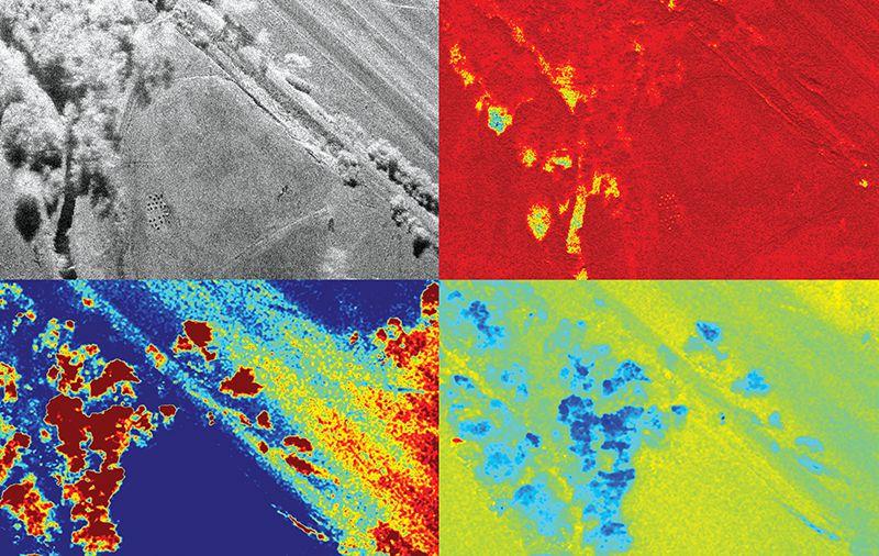
IFSAR is a special mode of Synthetic Aperture Radar imaging that uses signals from different angles to simultaneously form images of an area and measure the height of each pixel in the image.
IFSAR systems use two receive antennas that are separated perpendicular to the aircraft’s direction of travel. The two antennas receive the transmitted signal at different angles creating a stereo-like effect that allows the distance to each target to be precisely measured. By measuring the difference in the timing (phase) of the two receive signals, a Digital Elevation Map (DEM) can be created.
IMSAR’s IFSAR system can be used to form DEMs in real time with a single pass over the desired area. DEMs created from IFSAR systems are more accurate than photogrammetric techniques and typically have a shorter turnaround time and lower cost than high altitude LiDAR systems.
IMSAR’s IFSAR system can generate DEMs with vertical accuracy in the range of a few centimeters. The imagery produced by the Ku-band IFSAR sensor has ground resolution post spacings between 0.1 meters (4 inches) and 1 meter regardless of sensor altitude. When multiple IFSAR maps of the same area are compared over time, changes in elevation due to subsidence or earth deposits can be tracked. IFSAR is sensitive enough to measure even sub-centimeter changes in elevation.
IFSAR IMAGE SAMPLES
TYPICAL USES FOR IFSAR
When IFSAR radar is combined with other capabilities, such as Synthetic Aperture Radar (SAR) imaging, IMSAR systems can perform multiple applications in a variety of industries. Typical uses for IMSAR ISR solutions can include:
- Intelligence Gathering
- Disaster Preparation & Response
- Border Security
- Military Surveillance
- Landslide Monitoring
- Counter Drug Trafficking Operations
- Search & Rescue Operations
- Wildland Fire Monitoring
- Emergency Rescue
For more information about IFSAR and other products, contact us at information@imsar.com or call IMSAR sales at 801.798.8440.

