3.4 Taking Advantage of Mission Management Software
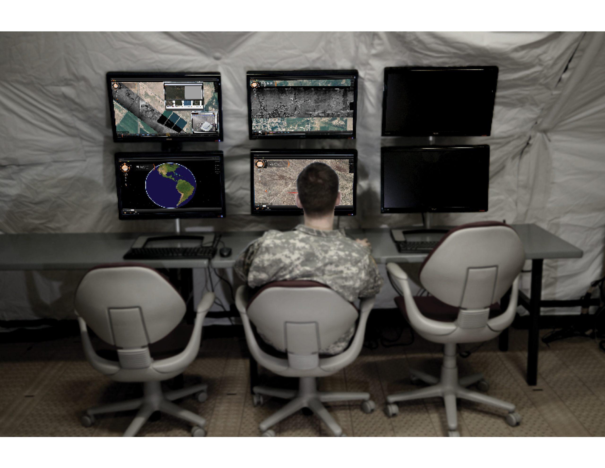
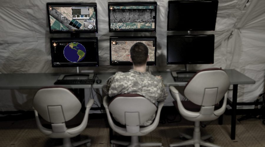
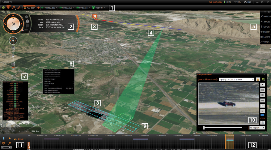
User-friendly, state-of-the-art mission management software enables radar analysts to more quickly and easily interpret data which promotes mission success. This software is available from several industry providers. IMSAR radar systems come pre-installed with Lisa 3D, IMSAR’s C2 and PED mission management software. Through its C2 functions, operators can plan flights for data collection, operate the radar, cue third-party sensors and monitor the health of the system. Through its PED functions, Lisa 3D displays data in seconds with a timeline-based workflow and intuitive search tools. Also, the software reduces operator workload by displaying data not only from the radar, but also from a variety of other sensors, such as EO/IR, FMV, and AIS.
As an alternative to using Lisa 3D for C2 functions, IMSAR radar system users have the option of using IMSAR’s Radar Control API, which allows for interoperability with other C2 ISR mission management software suites. Through the API, operators can use third-party software to slew the radar to an area of interest and immediately begin collecting data, and access data products and system status information. Additionally, IMSAR system data outputs are standards compliant, enabling data analysis in third-party PED software and the sharing of data products.
Intuitive Mission Management Software Aids Data Interpretation and Analysis
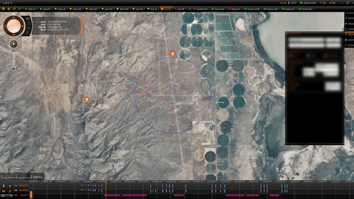
IMSAR’s Lisa 3D Software Features: (1) a sensor bar, (2) a heads-up display, (3) flight planning tools, (4) asset tracking tools, (5) PED tools, (6) multi-sensor coordination tools, (7) sensor status displays, (8) real-time data displays, (9) data collection planning tools, (10) a video player, (11) search tools, (12) a timeline
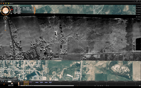
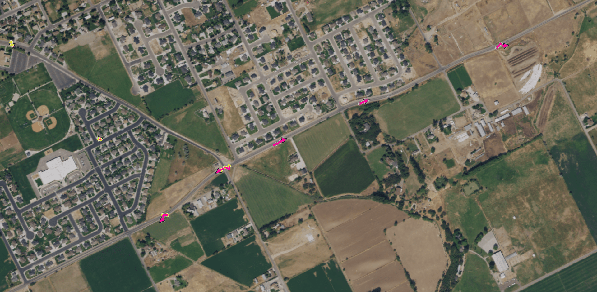
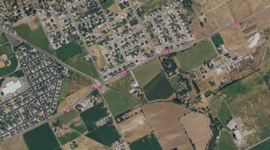
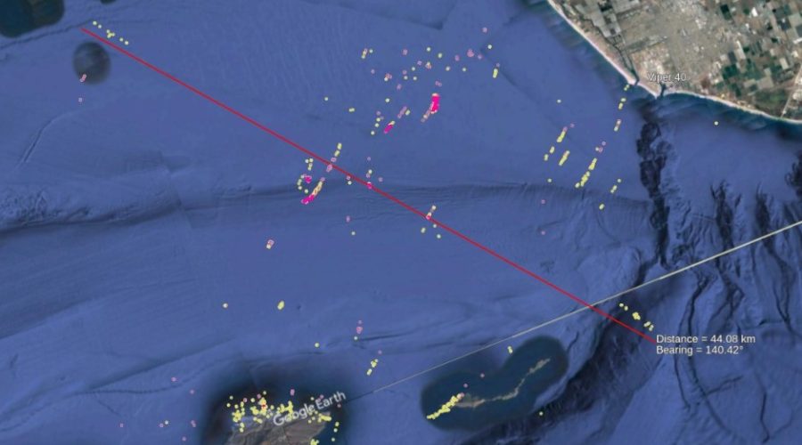
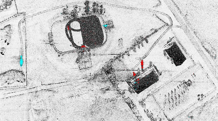
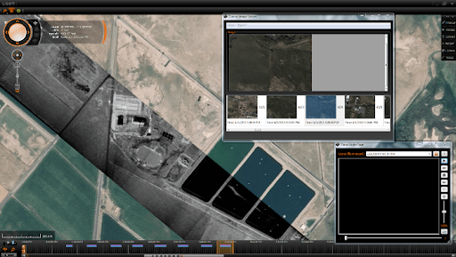
In addition, as the radar sensor data is being collected, Lisa 3D can display the data from multiple sensors superimposed on an optical basemap, including EO/IR imagery, FMV, SAR imagery,CCD imagery, and GMTI detections and tracks. This overlay feature allows the user to quickly compare data from multiple sensors to gain greater situational awareness of objects and targets of interest in the collection area.
Lisa 3D with SAR Stripmap Data Overlaid on an Optical Basemap
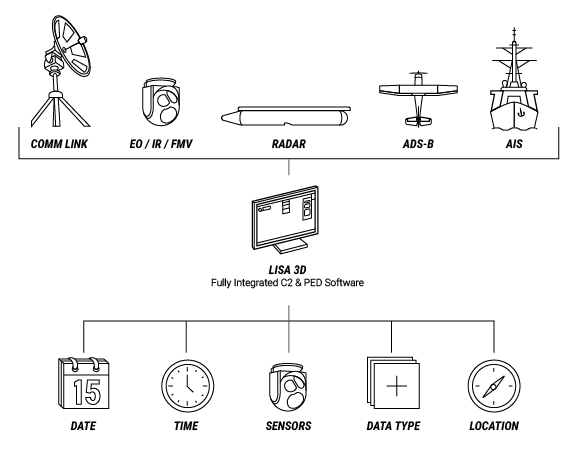
Since IMSAR radars have multimode capabilities and can communicate with other sensors, IMSAR developed Lisa 3D to accept multiple data inputs. Lisa 3D can import data from virtually any sensor that has an IP address and an ability to export data. Lisa 3D can convert and display basemap imagery and elevation data in standard formats including CADRG, CIB, MrSID, SID, NITF, TIFF and GEOTIFF. Other data inputs Lisa 3D can be configured to accept include asset tracking such as AIS, ADS-B, or GPS data feeds, and it can maintain and monitor the line-of-site or beyond-line-of-site communications links to the aircraft.
After mission specialists collect sensor data, they can use Lisa 3D to store the data and to search for the data by date, time, sensor, platform, location, and data type. Lisa 3D also has built-in filters to allow filtering by date and time, calendar date or date range, location, data, sensor type, and by several characteristics for GMTI playback including play type, speed, time window width, and GMTI track speed.
